Explore the Forested Hiking Trails of Tualatin Valley
Tualatin Valley’s verdant forests and hilly landscapes provide plenty of open spaces for hikes to suit adventurers of all abilities. Hike Tualatin Valley, from low-impact walks to mountain hikes of moderate difficulty. These numerous trails provide peaceful escapes, magnificent views and opportunities to view wildlife. Grab the camera, don your hiking boots and explore. (Mileage for all trails is one-way unless otherwise noted.)
Tillamook State Forest
Gales Creek Trail (PDF) (Map from Oregon Department of Forestry; large file) (Trailhead: Hwy. 6 at milepost 35; Distance: 11.4 miles; Difficulty: moderate)
This trail passes through a remote and scenic section of the Tillamook State Forest, along Gales Creek. Hikers pass small waterfalls, travel over log bridges and through a forest of snags (standing dead trees), many of which were survivors of the Tillamook Burn fires of 1933-51 that destroyed 355,000 acres of the Tillamook Forest.
Camping is allowed in parts of the Tillamook Forest. Gales Creek Campground (Wilson River Hwy., OR-6, Milepost 35, Forest Grove) allows camping, hiking and biking, while Browns Camp (Wilson River Hwy., OR-6, Milepost 33, Forest Grove) offers canoe access to the river, plus an off-highway vehicle area (OHV).
L.L. Stub Stewart State Park
Located in the Coast Range foothills of Tualatin Valley, L.L. Stub Stewart State Park (map PDF) has several mixed-use trails of varying difficulty. An easy hike is the Stub Stewart Northern Loop, a scenic 4.1-mile trail with a 480-foot elevation change. Start at the Hilltop day-use area, then travel along the Barberchair, Boomscooter and Hares Canyon trails, ending back at the Hilltop day-use area.
Hares Canyon Trail/ L.L. “Stub” Stewart State Park (30380 NW Hwy 47, Buxton, OR; Trailhead inside the park; Distance: 2.8 miles; Difficulty: moderate; Day-use permit required)
Rolling hills, thick forests and stunning views of the Coast Range mark this trail, which is within the L.L. “Stub” Stewart State Park. Traveling with horses? Oregon’s only full-service horse camp, Reehers Horse Camp, is located in the state park and offers full hook-up sites for RVs and horse corrals.
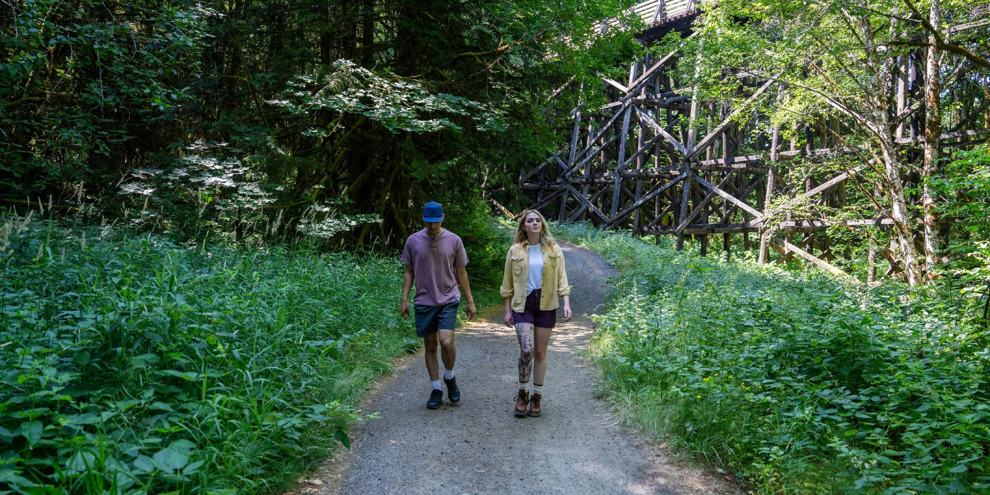
Banks-Vernonia State Trail (PDF) (Map from Oregon Parks and Recreation Department) (Trailhead: 42425 NW. Banks Rd. Banks, OR; Distance: 21 miles; Difficulty: easy-moderate)
Built along an abandoned railroad line that stretches from the town of Banks to the city of Vernonia, this trail, part of the Rails-to-Trails Conservancy program, was the first “rail-trail” built in Oregon. After two decades, the final leg of the mostly-paved trail was completed in 2010. The trail features an eight-foot-wide multi-use trail, paralleled by a four-foot wide horse trail, 12 bridges and two railroad trestles, with a moderate grade, and takes travelers through fields and forests offering spectacular views along the way.
While there are no campsites along the trail, L.L. “Stub” Stewart State Park features a variety of campsites, from drive-up and RV sites to hike-in camping. For those whose idea of “roughing it” does not include a tent, the state park has rustic cabins (with electricity) available for rent.
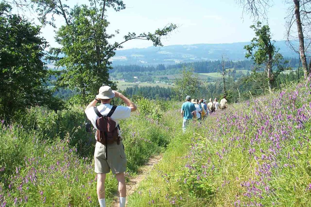
Henry Hagg Lake and Scoggins Valley Park
Hagg Lake and Scoggins Valley Park, located in Gaston, Oregon, approximately one hour west of Portland, is a reservoir in the Tualatin River Watershed. The lake provides abundant day-use recreational opportunities, ranging from fishing, swimming and water sports and activities to hiking and biking on 15 miles of trails.


Plan your Oregon’s Tualatin Valley Getaway
Discover the hidden gem of the Tualatin Valley, where nature, culture, and adventure await you this winter and spring. Order the latest Winter Inspiration Travel Guide from Explore Tualatin Valley and get ready to explore, taste, and enjoy this amazing destination.